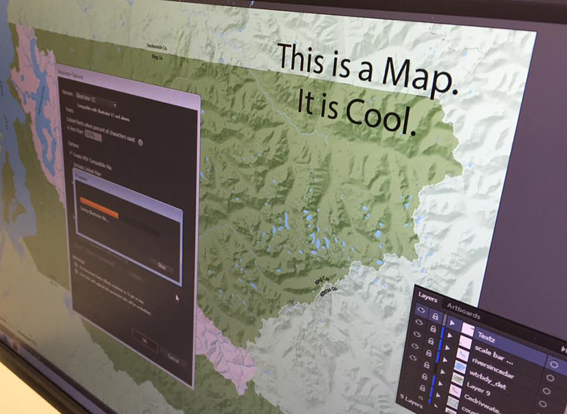
Geography and GIS faculty serve as the contacts and campus technical support for ESRI ArcGIS software. Individuals on campus may contact faculty member, Matt Dooley (ESRI Primary Contact) for questions regarding the use of this software on campus.
UNIVERSITY OF WISCONSIN River Falls
Politics, Geography and International Studies
GIS Lab
 About
About
The UWRF GIS Lab is supported by the Department of Politics, Geography and International Studies and serves as the primary center for GIS and Cartographic education. The department has had a minor in Cartography since 1981. The minor was revised in 1993 to include courses in Geographic Information Science. The GIS Lab was funded by NSF ILI and UWS Lab Modernization grants authored by Carol Barrett in 1993. The Lab has since been maintained through UWS Lab Modernization Grants and campus grants authored by Charles Rader, Matt Dooley, and the former Department of Geography and Geographic Information Science.
Located 301 Kleinpell Fine Arts
The GIS Lab consists of 27 Dell OptiPlex workstations using Windows and supporting ArcGIS and ArcGIS Pro, Idrisi TerrSet, Adobe CC (Adobe PhotoShop, Illustrator, Dreamweaver, and InDesign), MAPublisher, Microsoft Office, Natural Scene Designer, IBM SPSS 23 statistical analysis, DNR GPS, QGIS, Terrain Sculptor, and GeoDa (spatial statistics) applications. The lab maintains 28 GPS units for field mapping. The lab also includes an HP color LaserJet, an HP 44 inch color plotter, and a Wacom Cintiq 2 Touch drawing tablet.
Students from across campus take GIS courses, and many ultimately use skills developed in these courses to enhance their research and project work in many other disciplines including, geology, environmental science and management, conservation, and land use planning. In addition, many students are involved in internships with local organizations through the GIS Lab. These have included the Kinnickinnic River Land Trust, City of River Falls, St. Croix County, Washington County and many others.
In addition to the UW Acceptable Usage Policy, the department enforces the following rules:
- The GIS Lab is not an open-access lab for use by the general student population. Computers and printers in the GIS Lab are only for use by students currently enrolled in GIS courses or those using GIS software for coursework in other departments. Computers and printers may only be used for relevant GIS coursework. If a class is in session in the main lab, students enrolled in GIS courses may use one of the four workstations in the back room on a first-come, first-served basis.
- GIS Lab users may not install their own software in the lab. GIS Lab software must never be copied. This is a violation of copyright law.
- Food, drink, alcohol, tobacco, and other consumable items are not allowed at any computer station in the lab in order to protect the equipment. Users are welcome, however, to leave drinks at a table near the back of the lab.
- Students currently enrolled in GIS courses or those using GIS software for coursework in other departments are welcome to use the lab during open-lab hours, or the back room computers while classes are in session.


